
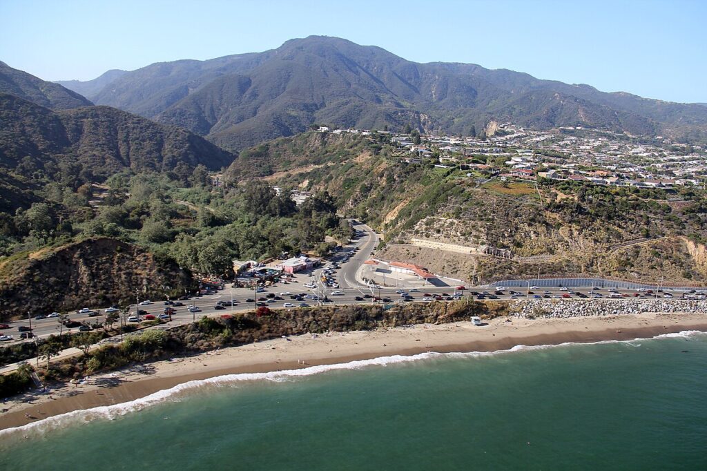
Few streets shape daily movement in Woodland Hills as directly as Topanga Canyon Boulevard. The road carries the state designation State Route 27, meaning the California Department of Transportation (Caltrans) owns and maintains it rather than the City of Los Angeles.
It runs from Pacific Coast Highway at Topanga State Beach, climbs north through the Santa Monica Mountains, and continues through Woodland Hills, Canoga Park, West Hills, and Chatsworth before ending at State Route 118. That single continuous line makes it the primary north-south spine of the western San Fernando Valley.
Its behavior changes dramatically from one segment to the next, and those differences govern who can travel it and when.
How the Corridor Changes Between the Coast and the Valley Floor
South of Ventura Boulevard, Topanga Canyon Boulevard narrows into a two-lane mountain road that follows Topanga Creek through Topanga State Park. Caltrans has officially designated this canyon stretch a state scenic highway, a status that carries additional review requirements for changes to the roadway and adjacent land.
The alignment includes tight curves, steep drop-offs, and long segments with no shoulder or turnaround. Drivers hauling anything wider or longer than a standard pickup encounter real physical constraints here, not just posted advisories.
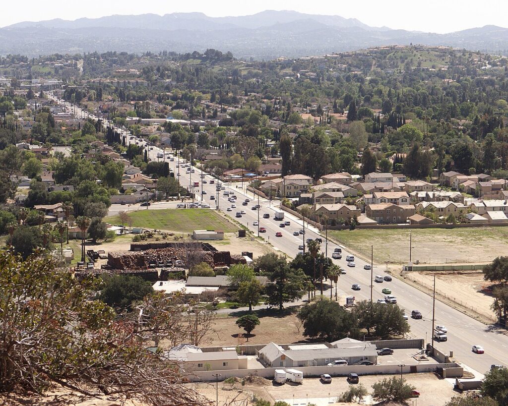
North of that canyon mouth, the character of the road reverses almost completely. Between Ventura Boulevard and the Ventura Freeway (US 101), the boulevard widens into a signalized commercial arterial serving south Woodland Hills. It then crosses US 101 and enters Warner Center, the dense office and residential district that generates much of the corridor’s weekday traffic.
Continuing north, it intersects Vanowen Street, Sherman Way, and Roscoe Boulevard, connecting Woodland Hills to Canoga Park and beyond. Except for the mountain segments, the route belongs to the National Highway System, the federal network of roads considered essential to the national economy.
Fire, Rain, and Slope Failure Regularly Sever the Route
Woodland Hills sits in a hot-summer Mediterranean climate, with dry summers and a concentrated winter rainy season. The area holds the highest temperature ever recorded in Los Angeles County: 121 degrees Fahrenheit at Pierce College on September 6, 2020. Long dry seasons cure the chaparral on the canyon slopes, and winter storms then saturate the same hillsides. That cycle produces the two hazards that close State Route 27 most often, wildfire and landslide.
Recent history illustrates the pattern clearly. The Palisades Fire, which began January 7, 2025, burned 23,448 acres and destroyed 6,845 structures according to state fire records, and Topanga Canyon Boulevard closed between Mulholland Drive and Pacific Coast Highway during the emergency.
A landslide in early 2024 shut the canyon segment for months, and Caltrans described the slope as too dangerous to reopen well into that spring. Even a single rock can do it: on January 10, 2005, a 25-foot, 300-ton boulder landed on the roadway and blocked through traffic for roughly a week. Each event pushes coastal-bound traffic onto Malibu Canyon Road, Las Virgenes Road, or the 101 freeway, adding significant distance to any trip.
Vehicle Size Rules That Apply Along State Route 27
California classifies highways by the size of truck they can legally accommodate, and those classifications matter on a canyon road. Caltrans defines a “California Legal” truck as one no longer than 65 feet overall, while larger interstate-standard vehicles are limited by kingpin-to-rear-axle distance (KPRA), the measurement from the trailer’s coupling point to the center of its rear axle group.
Under the state’s truck length rules, KPRA generally cannot exceed 40 feet for a two-axle group or 38 feet for a single axle. Longer combinations require designated routes, which the mountain portion of State Route 27 does not provide.
Several practical limits follow from that framework:
- Overall length governs whether a trailer can physically negotiate the canyon’s switchbacks.
- Turning radius determines whether a vehicle can reverse or turn around where no shoulder exists.
- Gross vehicle weight affects braking on sustained grades, particularly during descent toward the coast.
- Load securement carries added importance on curves, since shifting cargo behaves differently on grade than on flat arterials.
North of US 101, those constraints ease considerably, which is why most heavy freight movement in the area stays on the Valley floor.
Where Material Goes After It Leaves a Woodland Hills Property
Access routes matter as much on the outbound side as the inbound side, because disposal destinations are regulated. CalRecycle, the state’s recycling and recovery agency, requires local jurisdictions to apply either the California Green Building Standards Code (CALGreen) or a stricter local ordinance to construction and demolition debris.
Diversion goals under AB 939, California’s landmark 1989 waste law, push jurisdictions to route material toward processing facilities rather than landfills. According to CalRecycle, asphalt roofing shingles alone account for roughly 1.2 million tons per year, about 3 percent of the state’s waste stream.
For Woodland Hills, that means loads generally travel north and east along the Valley grid toward permitted transfer stations, not south through the canyon. The same routing logic applies to construction and demolition debris, since certified processing sites sit on the Valley floor rather than the coast.
Planning Around Predictable Congestion Points
Commuters from the western San Fernando Valley use State Route 27 heavily to reach Santa Monica and Interstate 10, which concentrates canyon traffic in the morning and late afternoon. The Warner Center segment adds its own peaks tied to office hours. Weekend beach traffic loads the canyon in the opposite direction, southbound on Saturday mornings and northbound in the late afternoon.
Caltrans publishes live conditions and closure notices through its QuickMap tool, which reflects lane closures and incident reports in near real time. Reading the corridor as three distinct roads rather than one explains most of what residents experience on it.


